It’s a little early in the season for proper trail running in the White Mountains,
but I decided to try for a Presidential Traverse this past weekend.
(The Fastest Known Time (FKT) was set last September by Ben Nephew in a crazy time of
4h 34min; a time I have no hope of achieving)
In any case, I started at 5 am with a breakfast of 4 eggs, sour cream, bacon, and a coffee with heavy cream.
I then ran to the dock to catch the 6:15 ferry off the island.
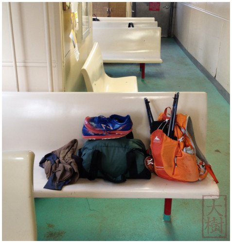
Gear from my run (Yaktrax in pack). Shoes are the excellent New Balance MT110’s.
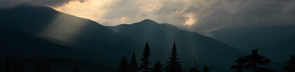
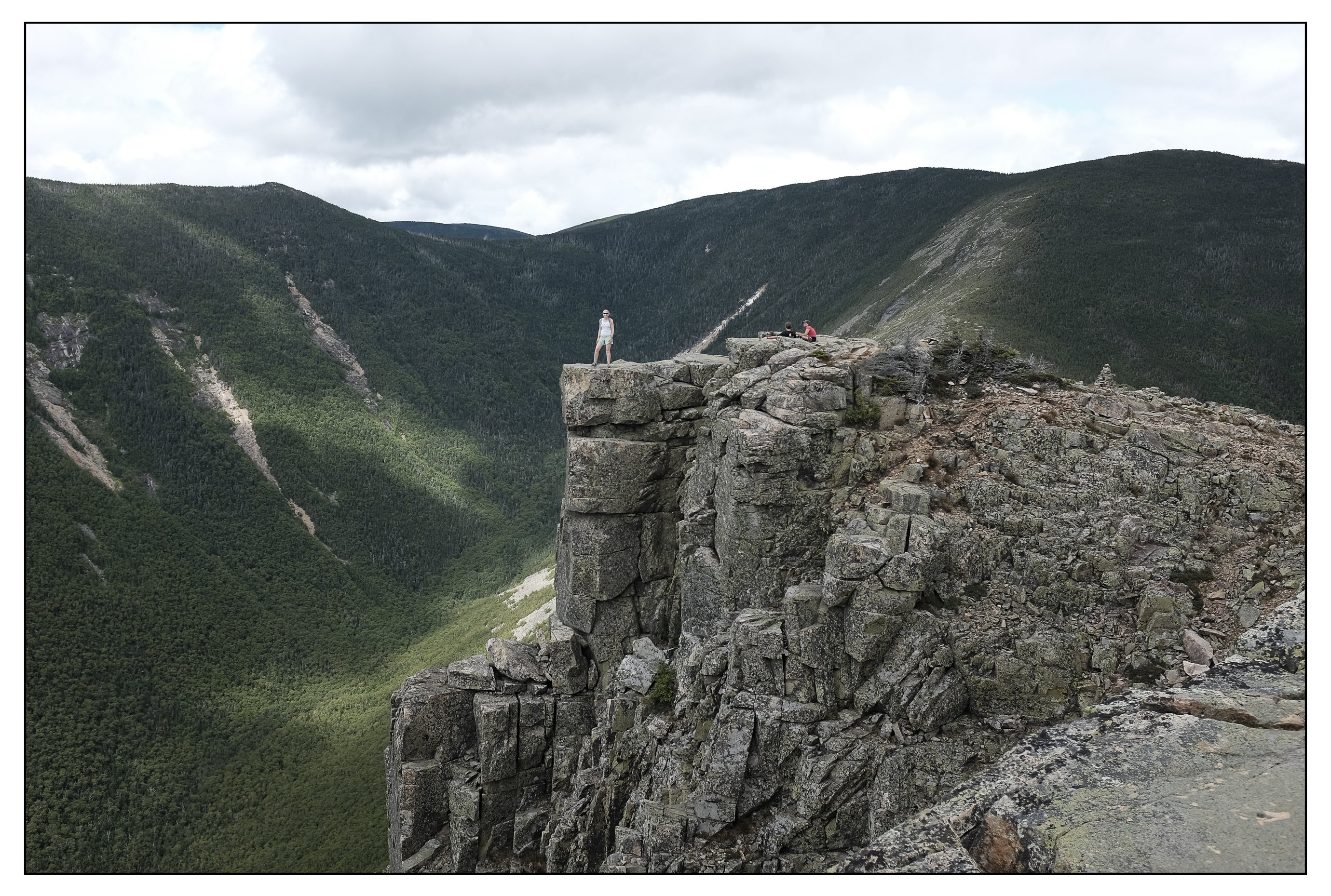
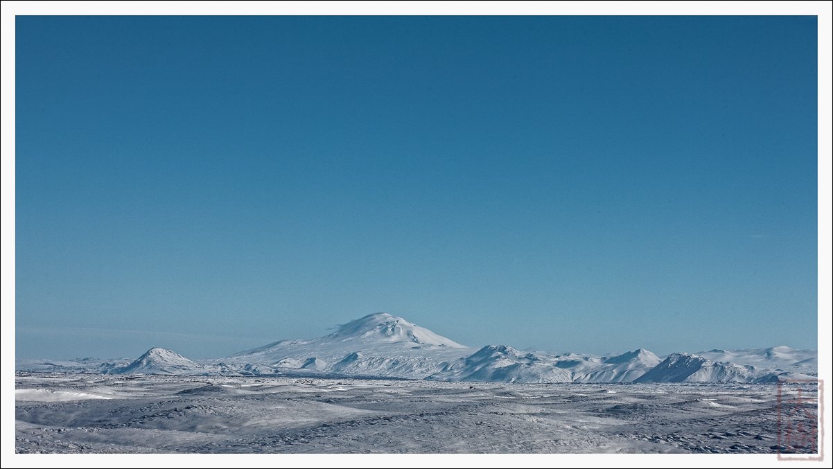
Then, it was a 2.5 hour drive to Pinkham Notch, and after a quick talk with the AMC about weather and trail conditions, I headed off to the Appalachia trailhead. On the way, there was a nice view of the Presidential range from the Mt. Washington Auto Road:
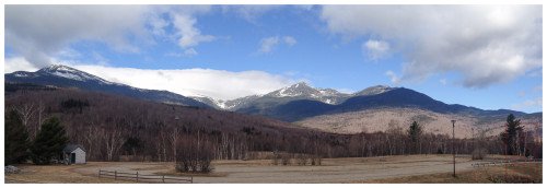
View of the Presidential Range from Rt. 16, just north of Pinkham Notch.
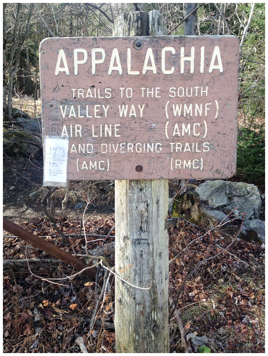
Finally, I started from the Appalachia Trailhead at 9:40 am. That’s really too late a start (IMHO) for a Presi-traverse, but here I was, finally ready to go:

Start of the traverse attempt…took Valley Way to Madison Hut.
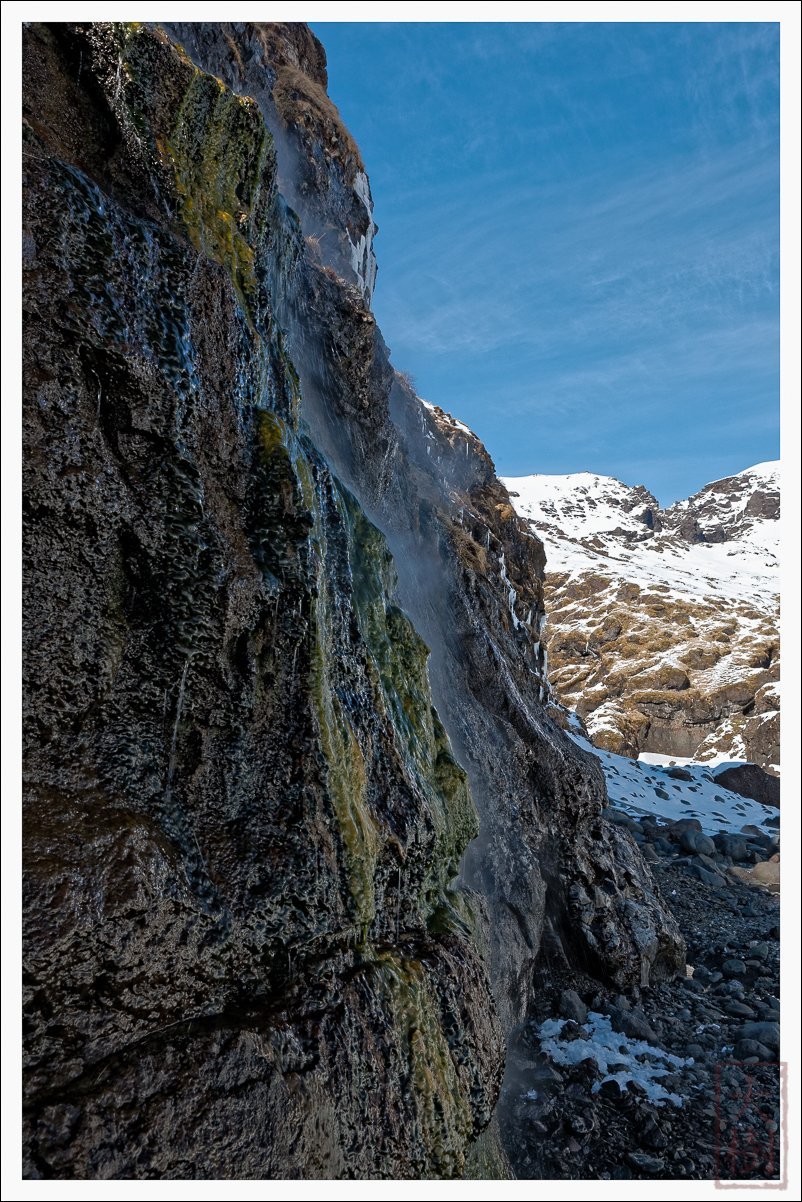
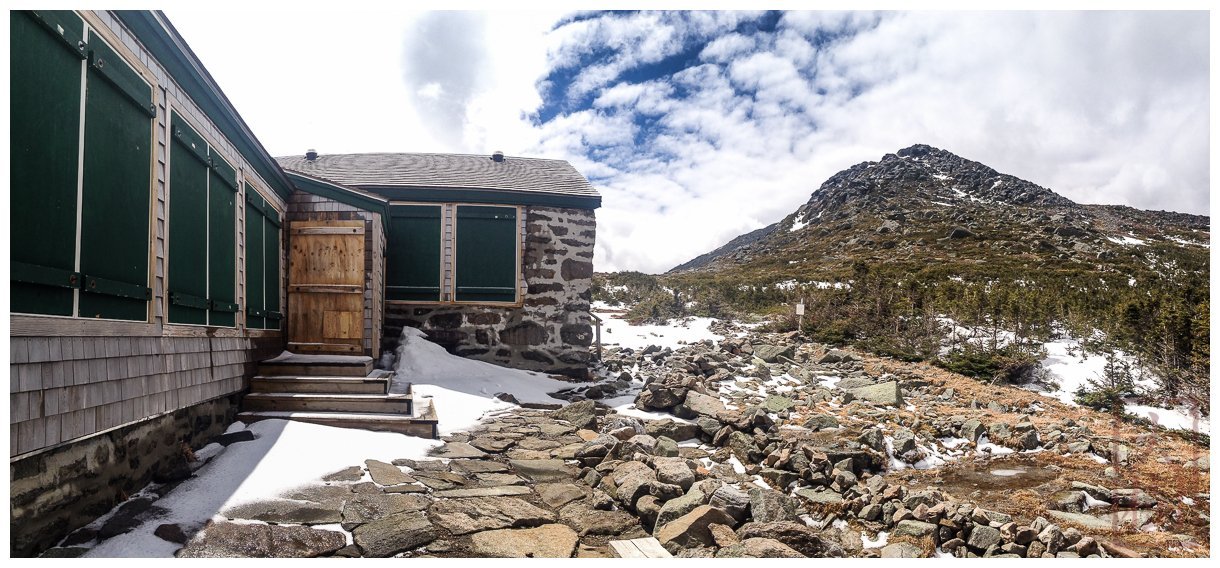
The first 3 km were pretty straightforward running—okay, that’s really not quite true, because the average grade from the trailhead to the summit of Mt. Madison is 20% (about double that of the UTMB). But there was good footing and no snow. However, around 3km, the trail turned to serious amount of snow and ice which continued until Madison Hut. To top it off, every other step would involve post-holing, and it was plain slow going. There were even a few frozen waterfall sections (which would have been impossible without my Yaktrax)—just to make things more fun. I made it to Madison Hut in about 2 h 17m:
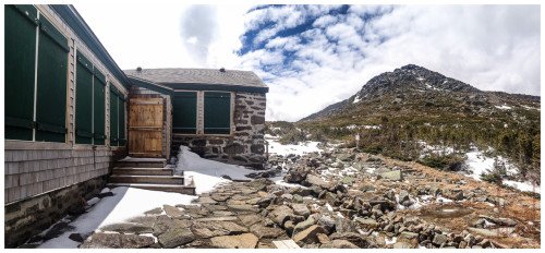
Madison Hut and Mt. Adams. 3 May 2014
Now it was much easier going (snow-wise anyway) and I made it to the summit of Mt. Madison in 2h 49m.

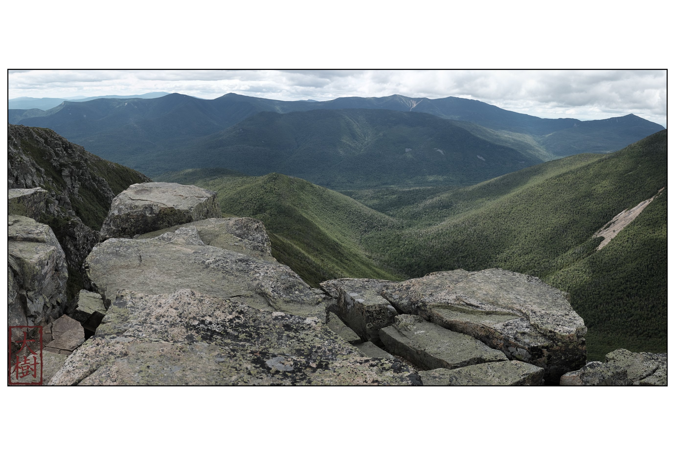
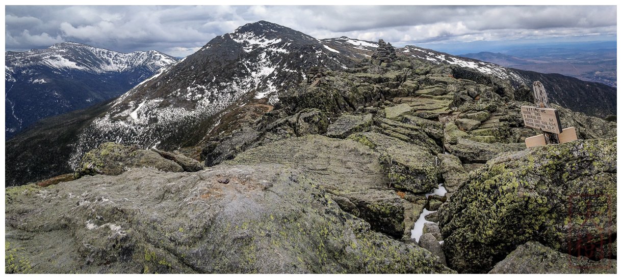
View from the summit of Mt. Adams. Mt. Washington on far left, Mt. Adams dead center. The weather began to deteriorate by this point, with increasing wind and visible precipitation approaching in the distance.
From the summit of Mt. Madison, it was clear that the weather was changing for the worse (as predicted), and I didn’t want to summit Mt. Adams with the potential of a thunderstorm. I therefore headed south along the Gulfside Trail to Thunderstorm Junction, at which point I could re-assess the weather and either summit Adams and continue, or bail down the Spur Trail with a stop at Crag Camp.
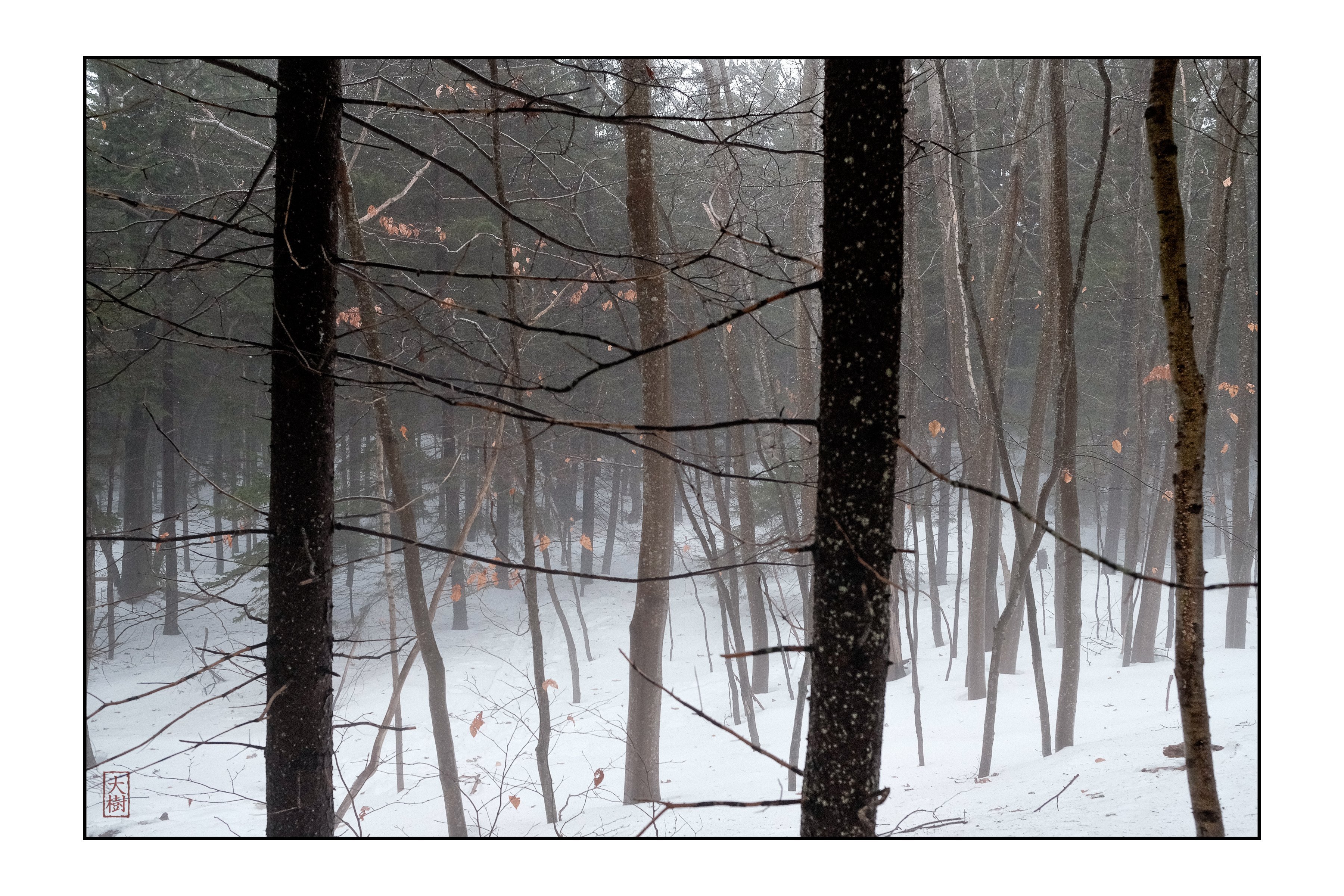
Unfortunately, as soon as I descended Mt. Madison and arrived back at Madison Hut, I began having cramps in my quads that forced me to stop and stretch. This happened to me back in November on a 35 km run, and it eventually went away. But this time, the combination of iffy weather (forecast to definitely get worse) and persistent cramps made the decision to abandon the traverse pretty easy.
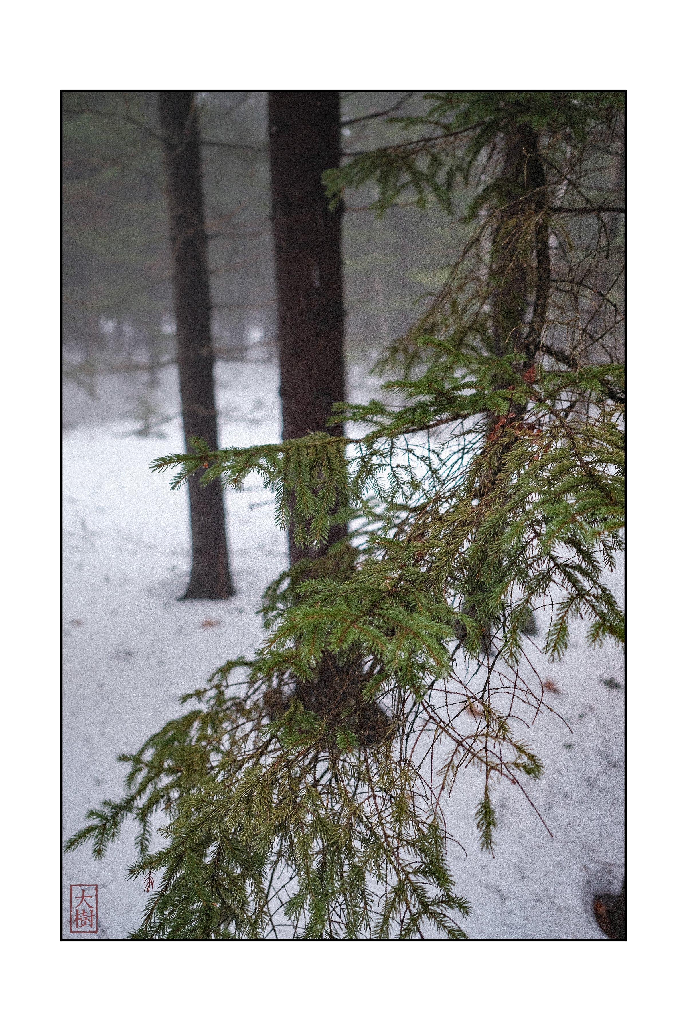
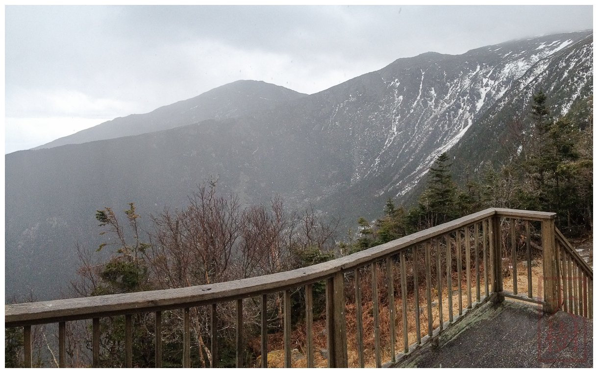
Well, at least the decision was straightforward. The descent on the spur trail was a blast through a snowfield by Thunderstorm Junction, but then turned into a slow post-holing and icy descent on a super steep ice covered Spur Trail down to Crag Camp. By the time I arrived hail had begun in earnest, and I was psyched to have a respite from the weather. You can see the sleet/hail beginning to fall on the porch of Crag Camp:

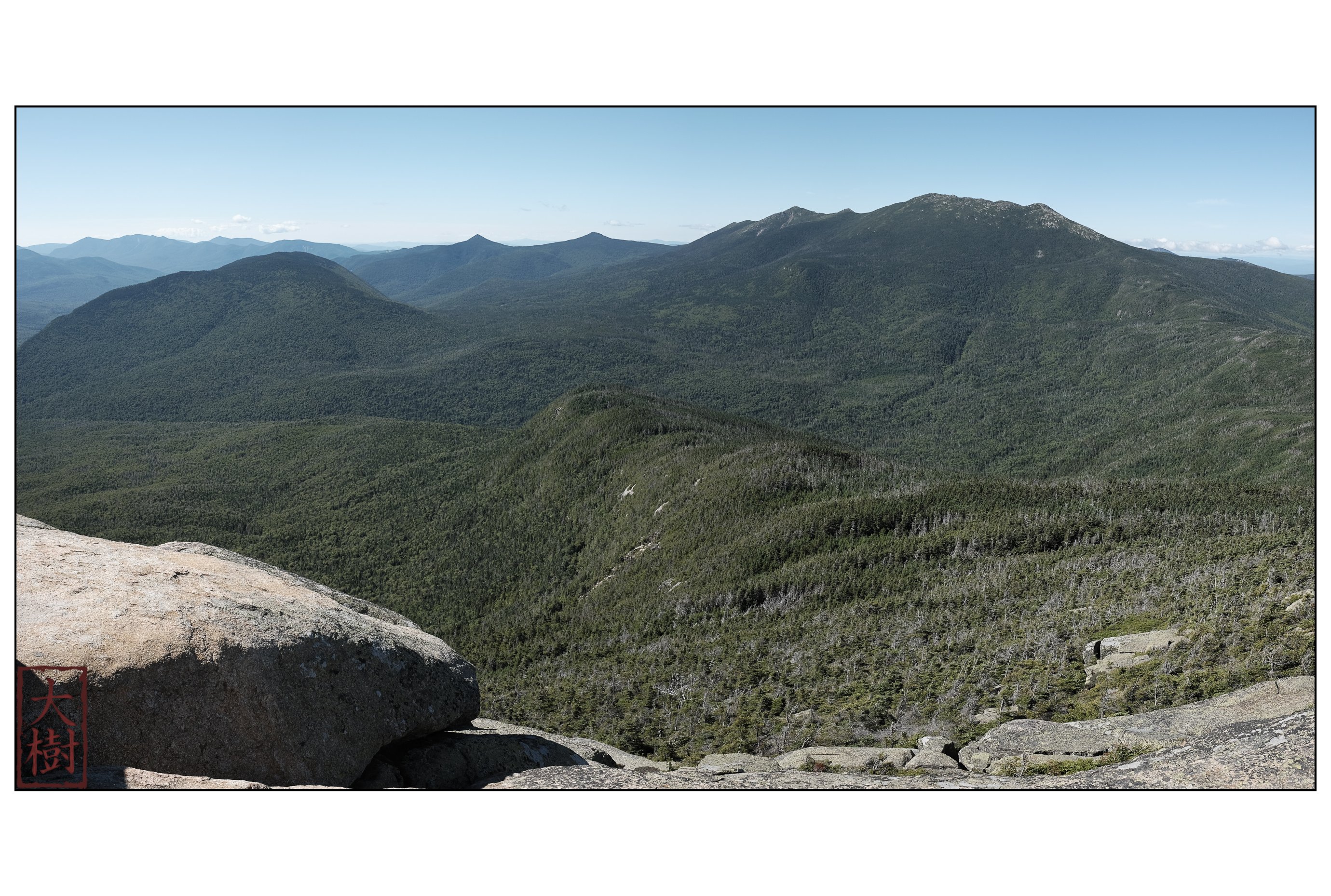
View of Mt Adams (in distance) and Mt Adams (in the clouds now) shortly after arrival – you can see sleet/hail on the deck.
After taking a rest and getting out my pack cover and proper raincoat, I headed out down the Spur Trail. I figured I had about 300-400 meters of ice and snow, and eked my way down another long steep icy-snowy-ending-on-slushy trail. Finally, after making it to the Amphibranch, I could run the rest of the way to the trailhead. This last section was super fun, and was in fact the best running of the whole day. Strangely, the cramping was really not bothering me anymore.
By the way, there’s a great excellent article about cramping over at iRunFar. You should read it. Seriously, it’s quite interesting. I especially like the part about how apparently the taste of pickle juice on the tongue somehow convinces the brain to stop the cramping in your leg. See. I told you that you need to read the article.
So, now it’s two days later and my quads are still sore. Funny though, I can tell they’ll be fine in a day or so, and I’m already psyched to get out for another run. Next time maybe I’ll try something more runnable until all the snow is gone.